 vesseltracker.com
Find the position of the vessel Al Gattara on the map. The latter are known coordinates and path.
marine traffic ship tracker show on live map
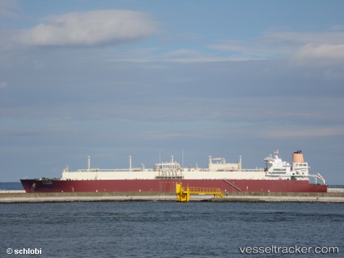
The current position of vessel Al Gattara is 37.9683 lat / -11.915 lng. Updated: 2024-04-20 09:32:55 UTCCurrently sailing under the flag of Marshall Is
Al Gattara built in 2007 year
Deadweight:
106898 tPayload_mass:
106898 tonneGross tonnage:
136410Service entry:
2007-01-01T00:00:00ZDetails:
Last coordinates of the vessel:
UTC, 38.705, -11.6467, course: -1, speed: 18UTC, 38.5518, -11.7007, course: 198, speed: 17.6
UTC, 38.3067, -11.8117, course: -1, speed: 17
2024-04-20 09:32:55 UTC, 37.9683, -11.915, course: -1, speed: 17
Track of the vessel in the last 14 days
The ship also appears on the maps: