 vesseltracker.com
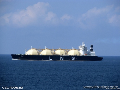
Find the position of the vessel Al Hamra on the map. The latter are known coordinates and path.
marine traffic ship tracker show on live map
The current position of vessel Al Hamra is 29.8017 lat / 125.723 lng. Updated: 2024-04-19 17:26:52 UTCCurrently sailing under the flag of Liberia
Al Hamra built in 1997 year
Port of registry:
Monrovia (capital city of Liberia)Deadweight:
72990 tPayload_mass:
72990 tonneGross tonnage:
116703Service entry:
1997-01-01T00:00:00ZLocation of creation:
Perno shipyard (shipyard in Turku, Finland)Manufacturer:
Kvaerner Masa-Yards (shipbuilding company (1991-2004))Details:
Last coordinates of the vessel:
UTC, 29.595, 125.708, course: -1, speed: 12UTC, 29.6433, 125.713, course: -1, speed: 12
UTC, 29.7817, 125.723, course: -1, speed: 12
2024-04-19 17:26:52 UTC, 29.8017, 125.723, course: -1, speed: 12