 vesseltracker.com
Find the position of the vessel Ammar on the map. The latter are known coordinates and path.
marine traffic ship tracker show on live map
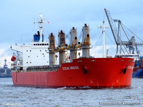
The current position of vessel Ammar is 4.78674 lat / 94.6782 lng. Updated: 2024-04-20 06:02:28 UTCPayload_mass:
45766 tonneGross tonnage:
26014Service entry:
1998-01-01T00:00:00ZManufacturer:
Tsuneishi ShipbuildingDetails:
Last coordinates of the vessel:
UTC, 4.71595, 94.6984, course: 344, speed: 12.2UTC, 4.71595, 94.6984, course: 344, speed: 12.2
UTC, 4.78674, 94.6782, course: 346, speed: 12.1
2024-04-20 06:02:28 UTC, 4.78674, 94.6782, course: 346, speed: 12.1