vessel 'RAM LILA' IMO: 9479929, vesseltracker.com
Vessel 'RAM LILA' IMO: 9479929,
MMSI: 419001637 callsign: size: x

Find the position of the vessel 'RAM LILA' on the map. The latter are known coordinates and path.

marine traffic ship tracker show on live map

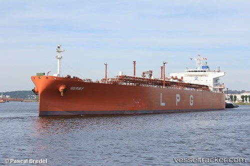
The current position of vessel 'RAM LILA' is 25.9232 lat / 51.6125 lng. Updated: 2024-04-20 02:27:54 UTC
Port of registry:
Monrovia (capital city of Liberia)
Payload_mass:
53028 tonne
Gross tonnage:
45812
Service entry:
2011-01-01T00:00:00Z
Details:


Last coordinates of the vessel:
UTC, 25.9232, 51.6126, course: 332, speed: 0
UTC, 25.9232, 51.6126, course: 331, speed: 0
2024-04-20 02:27:54 UTC, 25.9232, 51.6125, course: 331, speed: 0

Track of the vessel in the last 14 days


Most frequent ports a vessels calls at 'RAM LILA' (419001637):

Mangalore, traffic: 10
Panamburu, traffic: 10
Haldia, traffic: 4
Mina Abd Allah, traffic: 2
Mina Al Ahmadi, traffic: 2
Mina Az Zawr, traffic: 2
Vishakhapatnam, traffic: 1

Link to the map:


Find another ship

'RAM_LILA' (419001637) last ports (portcalls and passsages)

Mina Az Zawr | 2023-12-28 15:51:25
Mina Al Ahmadi | 2023-12-26 14:23:20
Mina Abd Allah | 2023-12-26 13:09:07
Haldia | 2023-12-13 05:18:02
Haldia | 2022-12-19 02:39:57
Mina Abd Allah | 2022-10-17 19:15:21
Panamburu | 2022-09-12 20:01:48
Panamburu | 2022-08-08 04:57:54
Haldia | 2022-06-22 10:32:26
Vishakhapatnam | 2022-06-18 22:21:55
Haldia | 2022-04-15 05:31:39
Mangalore | 2022-03-17 07:06:04
Panamburu | 2022-03-16 01:01:48
Mangalore | 2022-03-14 06:55:43
Panamburu | 2021-12-14 06:40:00
Mangalore | 2021-12-14 06:00:34