vessel '419001551' IMO: 9293129, vesseltracker.com
Vessel '419001551' IMO: 9293129,
MMSI: 419001551 callsign: size: x

Find the position of the vessel '419001551' on the map. The latter are known coordinates and path.

marine traffic ship tracker show on live map

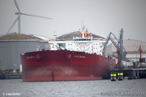
The current position of vessel '419001551' is 26.6677 lat / 50.1837 lng. Updated: 2024-04-24 15:45:37 UTC
Port of registry:
Majuro (coral atoll, capital of the Marshall Islands)
Payload_mass:
159155 tonne
Gross tonnage:
81076
Operator:
Columbia Shipmanagement (company in Hamburg, Germany)
Service entry:
2005-01-01T00:00:00Z

Manufacturer:
Hyundai Heavy Industries (company)

Details:


Last coordinates of the vessel:
UTC, 26.6677, 50.1836, course: -1, speed: 0
UTC, 26.6677, 50.1836, course: 357, speed: 0
2024-04-24 15:45:37 UTC, 26.6677, 50.1837, course: 357, speed: 0

Track of the vessel in the last 14 days


Most frequent ports a vessels calls at '419001551' (419001551):

Madras, traffic: 10
Az Zarqa Island, traffic: 3
Ras Tannurah, traffic: 3
Fujairah, traffic: 2

Link to the map:


Find another ship

'419001551' (419001551) last ports (portcalls and passsages)

Madras | 2022-12-29 17:26:59
Madras | 2022-12-01 15:00:34
Madras | 2022-11-03 05:38:18
Fujairah | 2022-09-18 04:07:46
Az Zarqa Island | 2022-08-12 11:04:45
Madras | 2022-07-30 05:00:33
Fujairah | 2022-07-20 13:43:31
Madras | 2022-07-02 13:29:47
Madras | 2022-05-16 04:36:33
Ras Tannurah | 2022-04-17 12:47:14
Az Zarqa Island | 2022-04-04 12:30:34
Madras | 2022-02-11 06:11:29
Ras Tannurah | 2021-12-25 04:35:22
Madras | 2021-12-07 18:44:42