 vesseltracker.com
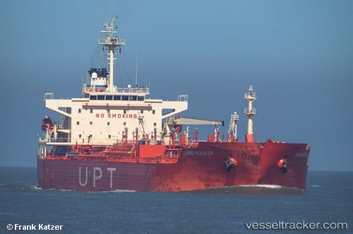
Find the position of the vessel Cape Bradley on the map. The latter are known coordinates and path.
marine traffic ship tracker show on live map
The current position of vessel Cape Bradley is 31.9492 lat / 120.28 lng. Updated: 2024-04-18 08:34:26 UTCCurrently sailing under the flag of Marshall Is
Cape Bradley built in 2004 year
Port of registry:
Majuro (coral atoll, capital of the Marshall Islands)Speed:
15 knotDeadweight:
40345 tPayload_mass:
40345 tonneGross tonnage:
25108Operator:
Columbia Shipmanagement Ltd. (shipping company)Service entry:
2004-01-01T00:00:00ZManufacturer:
Hyundai Mipo Dockyard (South Korean shipbuilding company)Details:
Last coordinates of the vessel:
UTC, 31.9492, 120.28, course: 69, speed: 14UTC, 31.9492, 120.28, course: 69, speed: 14
UTC, 31.9492, 120.28, course: 69, speed: 14
UTC, 31.9492, 120.28, course: 69, speed: 14
UTC, 31.9492, 120.28, course: 69, speed: 14
2024-04-18 08:34:26 UTC, 31.9492, 120.28, course: 69, speed: 14