 vesseltracker.com
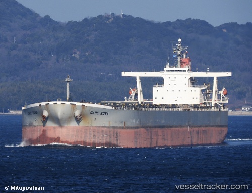
Find the position of the vessel '636020155' on the map. The latter are known coordinates and path.
marine traffic ship tracker show on live map
The current position of vessel '636020155' is 2.46832 lat / 101.527 lng. Updated: 2024-04-24 15:51:52 UTCPayload_mass:
203163 tonneGross tonnage:
102132Service entry:
2005-01-01T00:00:00ZDetails:
Last coordinates of the vessel:
UTC, 2.68668, 101.185, course: 120, speed: 10.9UTC, 2.67067, 101.214, course: 120, speed: 10.7
UTC, 2.49783, 101.488, course: 127, speed: 10
2024-04-24 15:51:52 UTC, 2.46832, 101.527, course: 127, speed: 10