 vesseltracker.com
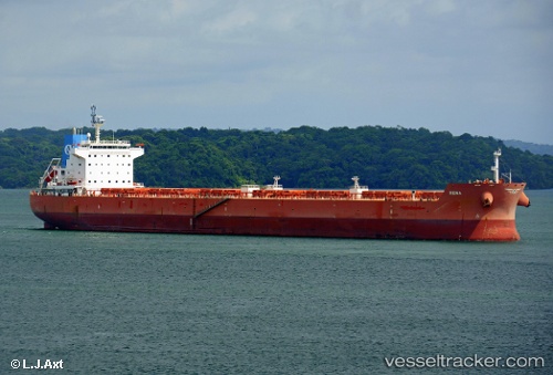
Find the position of the vessel STERLING FREIA on the map. The latter are known coordinates and path.
marine traffic ship tracker show on live map
The current position of vessel STERLING FREIA is 22.733 lat / 69.7109 lng. Updated: 2024-04-24 10:40:35 UTCCurrently sailing under the flag of Malta
STERLING FREIA built in 2011 year
Speed:
14.5 knotDeadweight:
80333 tPayload_mass:
80333 tonneGross tonnage:
43846Service entry:
2011-01-01T00:00:00ZDetails:
Last coordinates of the vessel:
UTC, 22.733, 69.7108, course: 256, speed: 0UTC, 22.733, 69.7109, course: 256, speed: 0
UTC, 22.733, 69.7109, course: 256, speed: 0
2024-04-24 10:40:35 UTC, 22.733, 69.7109, course: 256, speed: 0