 vesseltracker.com
Find the position of the vessel DOHA on the map. The latter are known coordinates and path.
marine traffic ship tracker show on live map
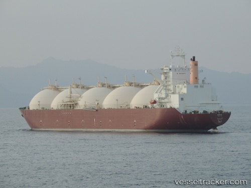
The current position of vessel DOHA is 20.71651 lat / 70.71234 lng. Updated: 2025-11-13 23:15:36 UTCCurrently sailing under the flag of Marshall Islands
DOHA built in 1999 year
Deadweight:
72337 tDetails:
Last coordinates of the vessel:
UTC, 20.71629, 70.50087, course: 89, speed: 11UTC, 20.70205, 70.66384, course: 50, speed: 1.3
UTC, 20.71958, 70.68261, course: 95, speed: 5.9
2025-11-13 23:15:36 UTC, 20.71651, 70.71234, course: 107, speed: 2.8