 vesseltracker.com
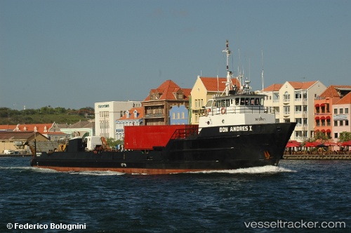
Find the position of the vessel Don Andres I on the map. The latter are known coordinates and path.
marine traffic ship tracker show on live map
The current position of vessel Don Andres I is 12.14744 lat / -68.27733 lng. Updated: 2025-11-14 19:28:23 UTCDetails:
Last coordinates of the vessel:
UTC, 12.08344, -68.53359, course: 80, speed: 8.6UTC, 12.12254, -68.36339, course: 76, speed: 9.3
UTC, 12.14609, -68.28290, course: 68, speed: 9.3
2025-11-14 19:28:23 UTC, 12.14744, -68.27733, course: 346, speed: 0.1