 vesseltracker.com
Find the position of the vessel ANITA A on the map. The latter are known coordinates and path.
marine traffic ship tracker show on live map
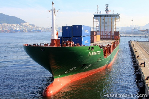
The current position of vessel ANITA A is 29.6618 lat / 32.434 lng. Updated: 2024-04-24 09:37:44 UTCCurrently sailing under the flag of Liberia
ANITA A built in 2009 year
Deadweight:
8494 tGross tonnage:
7170Service entry:
2009-01-01T00:00:00ZDetails:
Last coordinates of the vessel:
UTC, 29.6605, 32.4356, course: 8, speed: 0UTC, 29.6606, 32.4352, course: 33, speed: 0
UTC, 29.6616, 32.4344, course: 94, speed: 0
2024-04-24 09:37:44 UTC, 29.6618, 32.434, course: 88, speed: 0.3