 vesseltracker.com
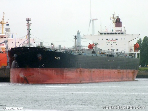
Find the position of the vessel BLUEFINS on the map. The latter are known coordinates and path.
marine traffic ship tracker show on live map
The current position of vessel BLUEFINS is 2.11667 lat / 104.737 lng. Updated: 2024-04-19 04:30:11 UTCCurrently sailing under the flag of Djibouti
BLUEFINS built in 2001 year
Deadweight:
68467 tPayload_mass:
68467 tonneGross tonnage:
39085Service entry:
2001-01-01T00:00:00ZManufacturer:
Koyo Dockyard (Japanese yard)
Details:
Last coordinates of the vessel:
UTC, 2.11833, 104.737, course: -1, speed: 0UTC, 2.11667, 104.737, course: -1, speed: 0
UTC, 2.11667, 104.737, course: -1, speed: 0
2024-04-19 04:30:11 UTC, 2.11667, 104.737, course: -1, speed: 0