 vesseltracker.com
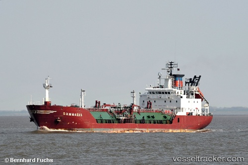
Find the position of the vessel MARINA on the map. The latter are known coordinates and path.
marine traffic ship tracker show on live map
The current position of vessel MARINA is 35.4962 lat / 35.4042 lng. Updated: 2024-04-19 00:16:51 UTCCurrently sailing under the flag of Togo
MARINA built in 1992 year
Deadweight:
4447 tGross tonnage:
3703Service entry:
1992-01-01T00:00:00ZManufacturer:
Richard Dunston (English shipbuilder)
Details:
Last coordinates of the vessel:
UTC, 35.4962, 35.4042, course: 179, speed: 5.9UTC, 35.4962, 35.4042, course: 179, speed: 5.9
UTC, 35.4962, 35.4042, course: 179, speed: 5.9
2024-04-19 00:16:51 UTC, 35.4962, 35.4042, course: 179, speed: 5.9