 vesseltracker.com
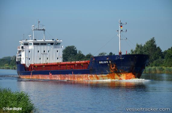
Find the position of the vessel Gelmond 3 on the map. The latter are known coordinates and path.
marine traffic ship tracker show on live map
The current position of vessel Gelmond 3 is 38.4204 lat / 27.104 lng. Updated: 2024-04-20 02:06:44 UTCCurrently sailing under the flag of Saint Kitts and Nevis
Payload_mass:
3557 tonneGross tonnage:
2678Service entry:
2008-01-01T00:00:00ZDetails:
Last coordinates of the vessel:
UTC, 38.4209, 27.105, course: 166, speed: 0.3UTC, 38.4207, 27.1044, course: 140, speed: 0.2
UTC, 38.4203, 27.104, course: 107, speed: 0.1
2024-04-20 02:06:44 UTC, 38.4204, 27.104, course: 121, speed: 0