 vesseltracker.com
Find the position of the vessel '413268760' on the map. The latter are known coordinates and path.
marine traffic ship tracker show on live map
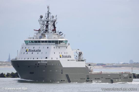
The current position of vessel '413268760' is 20.8583 lat / 114.615 lng. Updated: 2024-04-18 03:27:45 UTCPayload_mass:
4500 tonneGross tonnage:
7534Service entry:
2015-01-01T00:00:00ZDetails:
Last coordinates of the vessel:
UTC, 21.0867, 114.632, course: -1, speed: 9UTC, 21.0267, 114.625, course: -1, speed: 9
UTC, 20.8983, 114.597, course: -1, speed: 1
2024-04-18 03:27:45 UTC, 20.8583, 114.615, course: -1, speed: 0