 vesseltracker.com
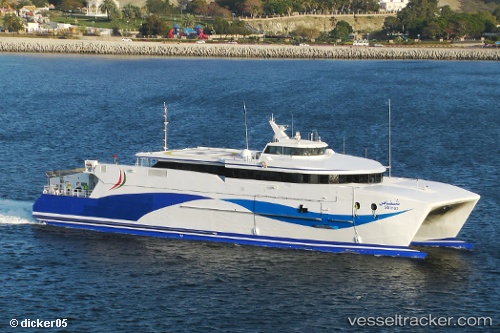
Find the position of the vessel SATAH on the map. The latter are known coordinates and path.
marine traffic ship tracker show on live map
The current position of vessel SATAH is 25.3495 lat / 56.3643 lng. Updated: 2024-04-18 02:34:06 UTCCurrently sailing under the flag of United Arab Emirates
SATAH built in 2007 year
Port of registry:
Jeju (city in South Korea)Deadweight:
146 tGross tonnage:
2005Operator:
Hanil ExpressService entry:
2007-01-01T00:00:00ZManufacturer:
Austal (Australian-based global ship building company)Details:
Last coordinates of the vessel:
UTC, 25.3495, 56.3643, course: -1, speed: 0UTC, 25.3495, 56.3644, course: -1, speed: 0
UTC, 25.3495, 56.3643, course: -1, speed: 0
2024-04-18 02:34:06 UTC, 25.3495, 56.3643, course: -1, speed: 0