 vesseltracker.com
Find the position of the vessel ESENTEPE on the map. The latter are known coordinates and path.
marine traffic ship tracker show on live map
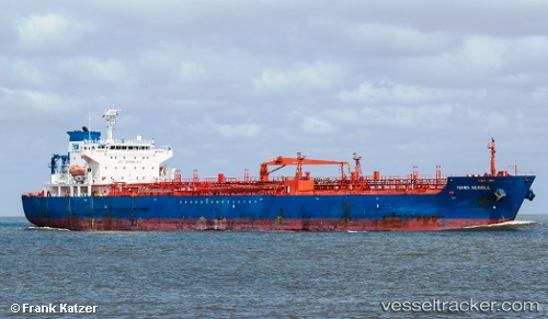
The current position of vessel ESENTEPE is 36.8163 lat / 36.1215 lng. Updated: 2024-04-23 15:09:04 UTCCurrently sailing under the flag of Marshall Is
ESENTEPE built in 2004 year
Port of registry:
Monrovia (capital city of Liberia)Speed:
15 knotDeadweight:
40250 tGross tonnage:
25400Service entry:
2004-01-01T00:00:00ZDetails:
Last coordinates of the vessel:
UTC, 36.8163, 36.1227, course: 209, speed: 0.2UTC, 36.816, 36.1229, course: 225, speed: 0
UTC, 36.8163, 36.1218, course: 181, speed: 0
2024-04-23 15:09:04 UTC, 36.8163, 36.1215, course: 168, speed: 0.6
Track of the vessel in the last 14 days
The ship also appears on the maps: