 vesseltracker.com
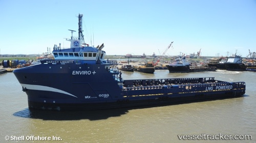
Find the position of the vessel Harvey Liberty on the map. The latter are known coordinates and path.
marine traffic ship tracker show on live map
The current position of vessel Harvey Liberty is 28.44573 lat / -89.04302 lng. Updated: 2025-11-12 05:21:36 UTCCurrently sailing under the flag of USA
Details:
Last coordinates of the vessel:
UTC, 28.44327, -89.03994, course: 351, speed: 0.4UTC, 28.44323, -89.03988, course: 0, speed: 0.5
UTC, 28.44323, -89.03987, course: 359, speed: 0.5
2025-11-12 05:21:36 UTC, 28.44573, -89.04302, course: 359, speed: 0.4