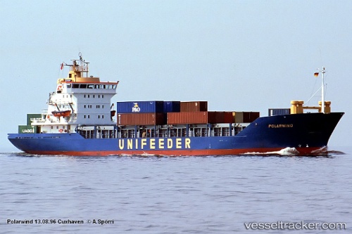
 vesseltracker.com
Find the position of the vessel SE JON BONG on the map. The latter are known coordinates and path.
marine traffic ship tracker show on live map
The current position of vessel SE JON BONG is 37.7038 lat / 120.146 lng. Updated: 2024-04-19 11:49:01 UTCCurrently sailing under the flag of Korea Democratic Republic
SE JON BONG built in 1983 year
Deadweight:
3126 tGross tonnage:
3504Service entry:
1983-01-01T00:00:00ZDetails:
Last coordinates of the vessel:
UTC, 37.7036, 120.146, course: -1, speed: 0.3UTC, 37.7036, 120.146, course: -1, speed: 0.4
UTC, 37.7037, 120.146, course: -1, speed: 0.5
2024-04-19 11:49:01 UTC, 37.7038, 120.146, course: -1, speed: 0.6