 vesseltracker.com
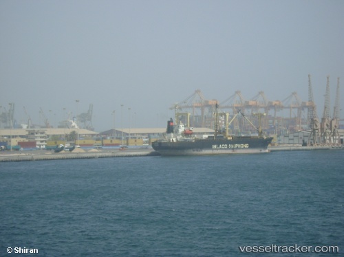
Find the position of the vessel MYONG JANG SAN on the map. The latter are known coordinates and path.
marine traffic ship tracker show on live map
The current position of vessel MYONG JANG SAN is 26.2805 lat / 120.589 lng. Updated: 2024-04-21 03:28:29 UTCCurrently sailing under the flag of Korea Democratic Republic
MYONG JANG SAN built in 1990 year
Deadweight:
7075 tPayload_mass:
7075 tonneGross tonnage:
5552Service entry:
1990-01-01T00:00:00ZManufacturer:
Shin Kurushima Dockyard (Japanese shipbuilding company)Details:
Last coordinates of the vessel:
UTC, 26.2805, 120.589, course: -1, speed: 8.4UTC, 26.2805, 120.589, course: -1, speed: 8.4
UTC, 26.2805, 120.589, course: -1, speed: 8.4
UTC, 26.2805, 120.589, course: -1, speed: 8.4
2024-04-21 03:28:29 UTC, 26.2805, 120.589, course: -1, speed: 8.4