 vesseltracker.com
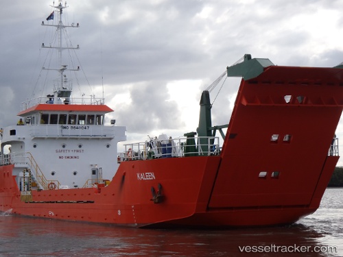
Find the position of the vessel Karribi on the map. The latter are known coordinates and path.
marine traffic ship tracker show on live map
The current position of vessel Karribi is -43.0373 lat / 147.277 lng. Updated: 2024-04-19 17:45:09 UTCCurrently sailing under the flag of Australia
Karribi built in 2009 year
Deadweight:
461 tGross tonnage:
498Service entry:
2009-01-01T00:00:00ZDetails:
Last coordinates of the vessel:
UTC, -43.0373, 147.277, course: 280, speed: 0UTC, -43.0373, 147.277, course: 280, speed: 0
UTC, -43.0374, 147.277, course: 281, speed: 0
2024-04-19 17:45:09 UTC, -43.0373, 147.277, course: 280, speed: 0