 vesseltracker.com
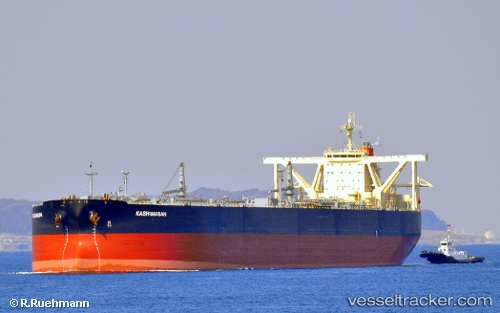
Find the position of the vessel KASHIMASAN on the map. The latter are known coordinates and path.
marine traffic ship tracker show on live map
The current position of vessel KASHIMASAN is 15.2036 lat / 85.0913 lng. Updated: 2024-04-24 18:09:51 UTCCurrently sailing under the flag of India
KASHIMASAN built in 2007 year
Port of registry:
Tokyo (capital and largest city of Japan)Deadweight:
306033 tPayload_mass:
299998 tonneGross tonnage:
159840Service entry:
2007-01-01T00:00:00ZDetails:
Last coordinates of the vessel:
UTC, 15.6029, 85.2259, course: 207, speed: 9.9UTC, 15.4767, 85.1837, course: 205, speed: 10.3
UTC, 15.335, 85.135, course: -1, speed: 10
2024-04-24 18:09:51 UTC, 15.2036, 85.0913, course: 202, speed: 10.9