 vesseltracker.com
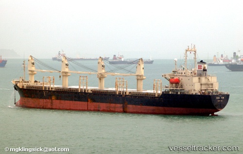
Find the position of the vessel 'BAO TENG' on the map. The latter are known coordinates and path.
marine traffic ship tracker show on live map
The current position of vessel 'BAO TENG' is 45.0359 lat / 36.5444 lng. Updated: 2024-04-24 09:37:23 UTCPayload_mass:
24086 tonneGross tonnage:
14783Service entry:
1997-01-01T00:00:00ZDetails:
Last coordinates of the vessel:
UTC, 45.036, 36.5441, course: 142, speed: 0.1UTC, 45.0358, 36.5438, course: 121, speed: 0
UTC, 45.0335, 36.5423, course: 132, speed: 1.1
2024-04-24 09:37:23 UTC, 45.0359, 36.5444, course: 149, speed: 1