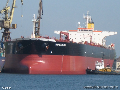
 vesseltracker.com
Find the position of the vessel INDA on the map. The latter are known coordinates and path.
marine traffic ship tracker show on live map
The current position of vessel INDA is 19.2928 lat / 72.6021 lng. Updated: 2024-04-18 02:25:31 UTCCurrently sailing under the flag of Russia
INDA built in 2003 year
Deadweight:
115418 tPayload_mass:
115418 tonneGross tonnage:
61991Service entry:
2003-01-01T00:00:00ZDetails:
Last coordinates of the vessel:
UTC, 19.2929, 72.6016, course: -1, speed: 0UTC, 19.2929, 72.6017, course: -1, speed: 0.1
UTC, 19.2929, 72.6016, course: -1, speed: 0
2024-04-18 02:25:31 UTC, 19.2928, 72.6021, course: -1, speed: 0
Track of the vessel in the last 14 days
The ship also appears on the maps: