 vesseltracker.com
Find the position of the vessel SAMIRA on the map. The latter are known coordinates and path.
marine traffic ship tracker show on live map
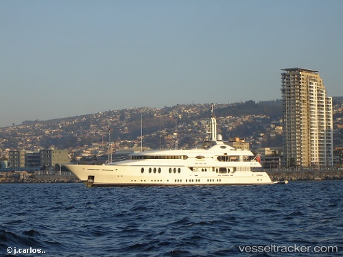
The current position of vessel SAMIRA is 43.1681 lat / 5.61052 lng. Updated: 2024-04-25 18:57:08 UTCCurrently sailing under the flag of Marshall Islands
SAMIRA built in 2003 year
Port of registry:
London (capital and largest city of England and the United Kingdom)Deadweight:
0 tGross tonnage:
802Service entry:
2003-01-01T00:00:00ZDetails:
Last coordinates of the vessel:
UTC, 43.1681, 5.61051, course: 219, speed: 0UTC, 43.1682, 5.61052, course: 219, speed: 0.1
UTC, 43.1682, 5.61052, course: 219, speed: 0.1
2024-04-25 18:57:08 UTC, 43.1681, 5.61052, course: 219, speed: 0.1