 vesseltracker.com
Find the position of the vessel ATLANTIS on the map. The latter are known coordinates and path.
marine traffic ship tracker show on live map
The current position of vessel ATLANTIS is 44.9246 lat / 30.3018 lng. Updated: 2024-04-24 02:42:59 UTCCurrently sailing under the flag of Panama
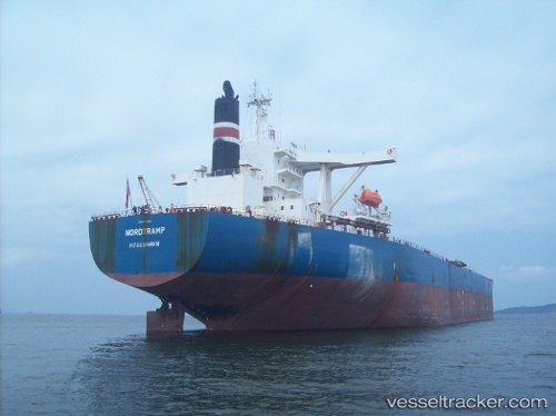
ATLANTIS built in 2001 year
Deadweight:
171199 tPayload_mass:
171199 tonneGross tonnage:
85379Service entry:
2001-01-01T00:00:00ZManufacturer:
Koyo Dockyard (Japanese yard)
Details:
Last coordinates of the vessel:
UTC, 44.9233, 30.3044, course: 122, speed: 0.7UTC, 44.9265, 30.3049, course: 146, speed: 0.2
UTC, 44.9263, 30.3044, course: 155, speed: 0.9
2024-04-24 02:42:59 UTC, 44.9246, 30.3018, course: 96, speed: 0