 vesseltracker.com
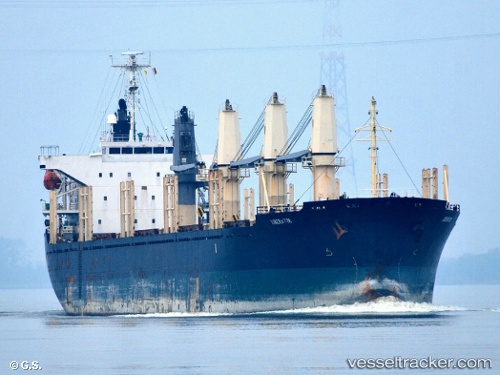
Find the position of the vessel Liberator on the map. The latter are known coordinates and path.
marine traffic ship tracker show on live map
The current position of vessel Liberator is -31.4977 lat / -45.3658 lng. Updated: 2024-04-20 11:25:42 UTCPort of registry:
Monrovia (capital city of Liberia)Speed:
14 knotPayload_mass:
28414 tonneGross tonnage:
16951Service entry:
2006-01-01T00:00:00ZManufacturer:
Shimanami ShipyardDetails:
Last coordinates of the vessel:
UTC, -31.2217, -44.8567, course: -1, speed: 10UTC, -31.451, -45.2808, course: 240, speed: 10.7
UTC, -31.4598, -45.2965, course: 240, speed: 10.5
2024-04-20 11:25:42 UTC, -31.4977, -45.3658, course: 240, speed: 10.2