 vesseltracker.com
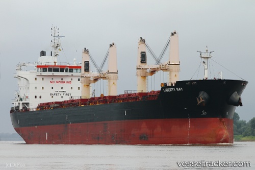
Find the position of the vessel Liberty Bay on the map. The latter are known coordinates and path.
marine traffic ship tracker show on live map
The current position of vessel Liberty Bay is -1.47167 lat / -48.7567 lng. Updated: 2024-04-20 08:21:57 UTCCurrently sailing under the flag of Marshall Islands
Speed:
14.8 knotPayload_mass:
36800 tonneGross tonnage:
22683Service entry:
2012-01-01T00:00:00ZManufacturer:
Hyundai Mipo Dockyard (South Korean shipbuilding company)Details:
Last coordinates of the vessel:
UTC, -1.46667, -48.7517, course: -1, speed: 3UTC, -1.47286, -48.7558, course: 220, speed: 0
UTC, -1.47304, -48.7559, course: 225, speed: 0
2024-04-20 08:21:57 UTC, -1.47167, -48.7567, course: -1, speed: 0