 vesseltracker.com
Find the position of the vessel IMPALAS on the map. The latter are known coordinates and path.
marine traffic ship tracker show on live map
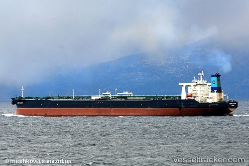
The current position of vessel IMPALAS is 40.139 lat / 121.439 lng. Updated: 2024-04-25 00:01:19 UTCCurrently sailing under the flag of Panama
IMPALAS built in 1999 year
Deadweight:
299167 tPayload_mass:
299167 tonneGross tonnage:
157833Service entry:
1999-01-01T00:00:00ZManufacturer:
Hanwha Ocean (shipbuilder of South Korea)Details:
Last coordinates of the vessel:
UTC, 40.144, 121.439, course: -1, speed: 0.2UTC, 40.1389, 121.439, course: -1, speed: 0
UTC, 40.1391, 121.439, course: -1, speed: 0
2024-04-25 00:01:19 UTC, 40.139, 121.439, course: -1, speed: 0