 vesseltracker.com
Find the position of the vessel CELTIC EXPLORER on the map. The latter are known coordinates and path.
marine traffic ship tracker show on live map
The current position of vessel CELTIC EXPLORER is 36.7155 lat / -8.75436 lng. Updated: 2024-04-24 08:31:34 UTCCurrently sailing under the flag of Antigua and Barbuda
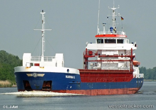
CELTIC EXPLORER built in 2007 year
Port of registry:
Saint John's (capital city of Antigua and Barbuda)Speed:
12.3 knotDeadweight:
3875 tPayload_mass:
3813 tonneGross tonnage:
2545Service entry:
2007-01-01T00:00:00ZManufacturer:
Damen Shipyards BergumDetails:
Last coordinates of the vessel:
UTC, 36.7765, -8.22789, course: 255, speed: 9UTC, 36.7234, -8.53062, course: 265, speed: 9.1
UTC, 36.7155, -8.75174, course: 268, speed: 8.8
2024-04-24 08:31:34 UTC, 36.7155, -8.75436, course: 268, speed: 8.8