vessel 'THOMAS MANN' IMO: 9340635, vesseltracker.com
Vessel 'THOMAS MANN' IMO: 9340635,
MMSI: 229189000 callsign: size: x

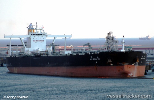
Find the position of the vessel 'THOMAS MANN' on the map. The latter are known coordinates and path.

marine traffic ship tracker show on live map

The current position of vessel 'THOMAS MANN' is 23.796 lat / 120.171 lng. Updated: 2024-04-20 00:35:36 UTC
Port of registry:
Monrovia (capital city of Liberia)
Payload_mass:
297259 tonne
Gross tonnage:
152727
Service entry:
2009-01-01T00:00:00Z

Manufacturer:
Dalian Shipbuilding Industry Company (part of China Shipbuilding Industry Corporation)

Details:


Last coordinates of the vessel:
UTC, 23.7959, 120.171, course: 48, speed: 0
UTC, 23.796, 120.171, course: 48, speed: 0
2024-04-20 00:35:36 UTC, 23.796, 120.171, course: 48, speed: 0

Track of the vessel in the last 14 days


Most frequent ports a vessels calls at 'THOMAS MANN' (229189000):

Sambu, traffic: 10
Singapore, traffic: 5
Ceuta, traffic: 4
Strait Of Gibraltar, traffic: 3
Puerto De La Luz, traffic: 2
Algeciras, traffic: 2
Las Palmas, traffic: 2
Mutrah, traffic: 1
Ras Tannurah, traffic: 1
Az Zarqa Island, traffic: 1
Das Island, traffic: 1
Luanda, traffic: 1

Link to the map:


Find another ship

'THOMAS_MANN' (229189000) last ports (portcalls and passsages)

Singapore | 2024-01-02 23:21:31
Az Zarqa Island | 2022-12-30 05:52:54
Das Island | 2022-12-30 02:25:34
Ras Tannurah | 2022-11-22 15:07:42
Luanda | 2022-09-30 07:13:55
Sambu | 2022-07-27 04:24:09
Mutrah | 2022-07-12 16:33:24
Strait Of Gibraltar | 2022-04-11 00:50:09
Ceuta | 2022-04-10 18:20:27
Algeciras | 2022-03-21 00:10:01
Ceuta | 2022-03-19 09:15:03
Strait Of Gibraltar | 2022-03-19 06:05:07
Puerto De La Luz | 2022-03-10 15:45:28
Sambu | 2022-01-13 00:40:06
Sambu | 2022-01-13 00:25:57
Sambu | 2022-01-11 03:00:20
Sambu | 2021-12-12 09:00:22