 vesseltracker.com
Find the position of the vessel '636020437' on the map. The latter are known coordinates and path.
marine traffic ship tracker show on live map
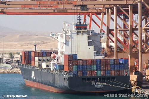
The current position of vessel '636020437' is 37.296 lat / 122.803 lng. Updated: 2024-04-20 13:18:41 UTCPort of registry:
Monrovia (capital city of Liberia)Payload_mass:
44132.9 tonneGross tonnage:
35573Service entry:
2006-01-01T00:00:00ZManufacturer:
HJ Shipbuilding & Construction (company)Details:
Last coordinates of the vessel:
UTC, 37.6727, 122.497, course: 140, speed: 12.7UTC, 37.5283, 122.69, course: 135, speed: 13.7
UTC, 37.4733, 122.751, course: 159, speed: 13.6
2024-04-20 13:18:41 UTC, 37.296, 122.803, course: 180, speed: 13.3