 vesseltracker.com
Find the position of the vessel ELIZABETH M on the map. The latter are known coordinates and path.
marine traffic ship tracker show on live map
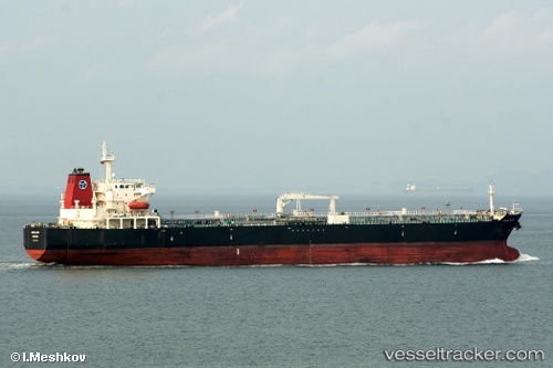
The current position of vessel ELIZABETH M is -3.34333 lat / -58.5983 lng. Updated: 2024-04-18 03:36:57 UTCCurrently sailing under the flag of Marshall Islands
ELIZABETH M built in 2007 year
Deadweight:
50359 tDetails:
Last coordinates of the vessel:
UTC, -3.19921, -58.336, course: 299, speed: 9.4UTC, -3.17663, -58.5242, course: 230, speed: 11.2
UTC, -3.2888, -58.5694, course: 180, speed: 9.7
2024-04-18 03:36:57 UTC, -3.34333, -58.5983, course: -1, speed: 10