 vesseltracker.com
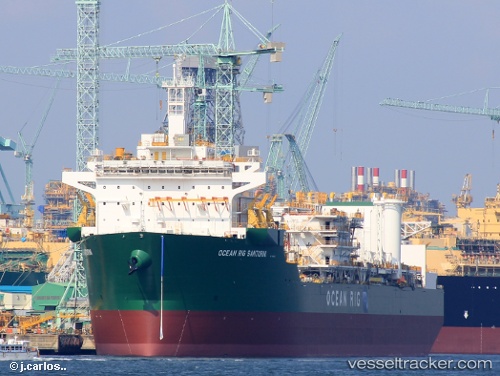
Find the position of the vessel SANTORINI on the map. The latter are known coordinates and path.
marine traffic ship tracker show on live map
The current position of vessel SANTORINI is 32.1263 lat / 32.5071 lng. Updated: 2024-04-19 11:28:29 UTCCurrently sailing under the flag of Bahamas
SANTORINI built in 2021 year
Deadweight:
59352 tPayload_mass:
60150 tonneGross tonnage:
59610Service entry:
2014-01-01T00:00:00ZDetails:
Last coordinates of the vessel:
UTC, 32.1264, 32.507, course: 270, speed: 0UTC, 32.1263, 32.507, course: 270, speed: 0
UTC, 32.1263, 32.507, course: 270, speed: 0
2024-04-19 11:28:29 UTC, 32.1263, 32.5071, course: 270, speed: 0