 vesseltracker.com
Find the position of the vessel J M A on the map. The latter are known coordinates and path.
marine traffic ship tracker show on live map
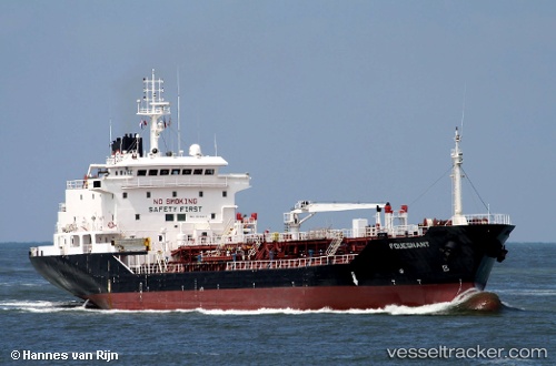
The current position of vessel J M A is 8.44333 lat / 74.6667 lng. Updated: 2024-04-20 12:40:13 UTCCurrently sailing under the flag of Cook islands
J M A built in 2001 year
Deadweight:
6902 tDetails:
Last coordinates of the vessel:
UTC, 8.655, 74.6983, course: -1, speed: 8UTC, 8.655, 74.6983, course: -1, speed: 8
UTC, 8.44333, 74.6667, course: -1, speed: 8
2024-04-20 12:40:13 UTC, 8.44333, 74.6667, course: -1, speed: 8