vessel MERATUS AMPANA IMO: 9262950, General Cargo Ship vesseltracker.com
Vessel MERATUS AMPANA IMO: 9262950, General Cargo Ship
MMSI: 525125033 callsign: YDPM2 size: x

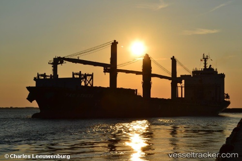
Find the position of the vessel MERATUS AMPANA on the map. The latter are known coordinates and path.

marine traffic ship tracker show on live map

The current position of vessel MERATUS AMPANA is -6.02147 lat / 106.899 lng. Updated: 2024-04-23 14:38:14 UTC

Currently sailing under the flag of Indonesia

MERATUS AMPANA built in 2002 year

Deadweight:
27403 t

Gross tonnage:
20471
Service entry:
2002-01-01T00:00:00Z
Details:


Last coordinates of the vessel:
UTC, -6.02093, 106.9, course: 185, speed: 0
UTC, -6.0212, 106.899, course: 155, speed: 0
UTC, -6.02145, 106.899, course: 142, speed: 0
2024-04-23 14:38:14 UTC, -6.02147, 106.899, course: 142, speed: 0

Track of the vessel in the last 14 days


Most frequent ports a vessels calls at MERATUS AMPANA (525125033):

Balboa, traffic: 5
Panama, traffic: 2
Sambu, traffic: 2
Bremerhaven, traffic: 1
Ceuta, traffic: 1
Rada Di Vado, traffic: 1
Savona, traffic: 1
Rodman, traffic: 1

Link to the map:


Find another ship

MERATUS_AMPANA (525125033) last ports (portcalls and passsages)

Rodman | 2024-01-08 23:48:23
Bremerhaven | 2022-08-28 04:49:46
Ceuta | 2022-08-25 13:34:11
Balboa | 2022-07-15 13:23:05
Savona | 2022-06-27 19:21:51
Panama | 2022-05-12 16:55:03
Panama | 2022-03-20 11:42:31
Balboa | 2022-03-18 19:41:08
Sambu | 2021-12-01 00:22:38