 vesseltracker.com
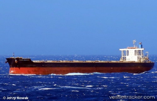
Find the position of the vessel '636020330' on the map. The latter are known coordinates and path.
marine traffic ship tracker show on live map
The current position of vessel '636020330' is 2.96076 lat / 105.152 lng. Updated: 2024-04-24 20:17:05 UTCPayload_mass:
181458 tonneGross tonnage:
92752Service entry:
2011-01-01T00:00:00ZManufacturer:
Koyo Dockyard (Japanese yard)
Details:
Last coordinates of the vessel:
UTC, 2.24587, 105.122, course: 352, speed: 10.3UTC, 2.65751, 105.08, course: 354, speed: 10.5
UTC, 2.82975, 105.079, course: 20, speed: 10.2
2024-04-24 20:17:05 UTC, 2.96076, 105.152, course: 31, speed: 9.9
Track of the vessel in the last 14 days
The ship also appears on the maps: