 vesseltracker.com
Find the position of the vessel 538009189 on the map. The latter are known coordinates and path.
marine traffic ship tracker show on live map
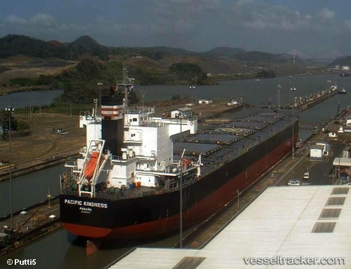
The current position of vessel 538009189 is 47.5921 lat / 156.471 lng. Updated: 2024-04-25 00:03:25 UTCPort of registry:
Majuro (coral atoll, capital of the Marshall Islands)Payload_mass:
82177 tonneGross tonnage:
43022Service entry:
2011-01-01T00:00:00ZDetails:
Last coordinates of the vessel:
UTC, 47.6699, 156.71, course: 246, speed: 10.5UTC, 47.655, 156.665, course: -1, speed: 10
UTC, 47.595, 156.478, course: -1, speed: 10
2024-04-25 00:03:25 UTC, 47.5921, 156.471, course: 245, speed: 10.5