 vesseltracker.com
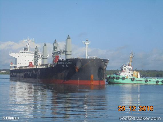
Find the position of the vessel RUI FU AN on the map. The latter are known coordinates and path.
marine traffic ship tracker show on live map
The current position of vessel RUI FU AN is 9.39104 lat / 125.958 lng. Updated: 2024-04-18 22:47:17 UTCCurrently sailing under the flag of China Peopless Republic
RUI FU AN built in 2013 year
Deadweight:
56578 tPayload_mass:
56578 tonneGross tonnage:
33057Service entry:
2013-01-01T00:00:00ZDetails:
Last coordinates of the vessel:
UTC, 9.39104, 125.958, course: 323, speed: 0.2UTC, 9.39104, 125.958, course: 323, speed: 0.2
UTC, 9.39104, 125.958, course: 323, speed: 0.2
2024-04-18 22:47:17 UTC, 9.39104, 125.958, course: 323, speed: 0.2