 vesseltracker.com
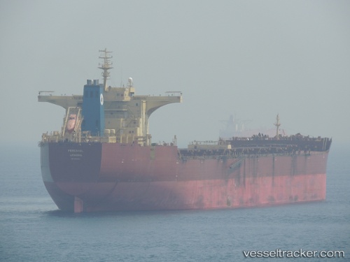
Find the position of the vessel VOLTA on the map. The latter are known coordinates and path.
marine traffic ship tracker show on live map
The current position of vessel VOLTA is 19.1417 lat / 86.7567 lng. Updated: 2024-04-20 01:42:49 UTCCurrently sailing under the flag of Marshall Islands
VOLTA built in 2010 year
Port of registry:
Limassol (city in the Limassol District, Cyprus)Deadweight:
177066 tPayload_mass:
177065.8 tonneGross tonnage:
92053Service entry:
2010-01-01T00:00:00ZDetails:
Last coordinates of the vessel:
UTC, 19.2711, 86.8056, course: 208, speed: 10.4UTC, 19.225, 86.7867, course: -1, speed: 10
UTC, 19.1857, 86.7726, course: 208, speed: 10.5
2024-04-20 01:42:49 UTC, 19.1417, 86.7567, course: -1, speed: 10