 vesseltracker.com
Find the position of the vessel ROAD on the map. The latter are known coordinates and path.
marine traffic ship tracker show on live map
The current position of vessel ROAD is 29.7826 lat / 48.8092 lng. Updated: 2024-04-24 11:43:21 UTCCurrently sailing under the flag of Barbados
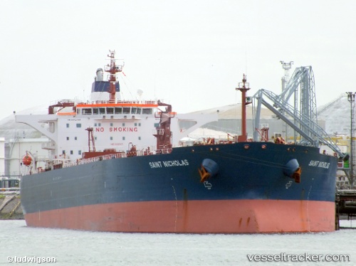
ROAD built in 2002 year
Port of registry:
Valletta (capital of Malta)Deadweight:
105541 tGross tonnage:
57301Service entry:
2002-01-01T00:00:00ZManufacturer:
Hyundai Samho Heavy Industries (company)Details:
Last coordinates of the vessel:
UTC, 29.7824, 48.8092, course: 140, speed: 0UTC, 29.7825, 48.8091, course: 140, speed: 0
UTC, 29.7825, 48.8091, course: 140, speed: 0
2024-04-24 11:43:21 UTC, 29.7826, 48.8092, course: 139, speed: 0