 vesseltracker.com
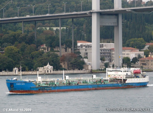
Find the position of the vessel Samara City on the map. The latter are known coordinates and path.
marine traffic ship tracker show on live map
The current position of vessel Samara City is 46.4032 lat / 48.0248 lng. Updated: 2024-04-20 09:15:27 UTCPayload_mass:
5580 tonneGross tonnage:
4407Service entry:
1993-01-01T00:00:00ZManufacturer:
Ruse ShipyardDetails:
Last coordinates of the vessel:
UTC, 46.403, 48.0249, course: 321, speed: 0UTC, 46.403, 48.0249, course: 318, speed: 0.1
UTC, 46.4033, 48.025, course: 322, speed: 0.1
2024-04-20 09:15:27 UTC, 46.4032, 48.0248, course: 332, speed: 0.2