 vesseltracker.com
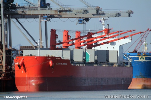
Find the position of the vessel Santa Maria on the map. The latter are known coordinates and path.
marine traffic ship tracker show on live map
The current position of vessel Santa Maria is 12.0964 lat / -64.5747 lng. Updated: 2024-04-18 23:47:44 UTCPayload_mass:
61323 tonneGross tonnage:
34802Service entry:
2014-01-01T00:00:00ZDetails:
Last coordinates of the vessel:
UTC, 11.9239, -64.1181, course: 291, speed: 12.7UTC, 12.0162, -64.3622, course: 292, speed: 12.7
UTC, 12.0638, -64.4866, course: 290, speed: 13
2024-04-18 23:47:44 UTC, 12.0964, -64.5747, course: 289, speed: 12.9