 vesseltracker.com
Find the position of the vessel Santorini Island on the map. The latter are known coordinates and path.
marine traffic ship tracker show on live map
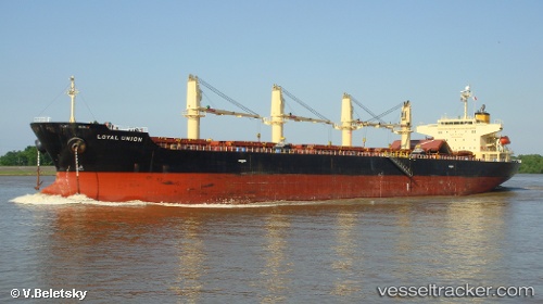
The current position of vessel Santorini Island is 37.4963 lat / 9.74098 lng. Updated: 2024-04-24 04:40:09 UTCCurrently sailing under the flag of Panama
Santorini Island built in 2007 year
Port of registry:
Panama City (capital of Panama)Speed:
16.3 knotDeadweight:
48549 tPayload_mass:
48549 tonneGross tonnage:
27729Service entry:
2007-01-01T00:00:00ZManufacturer:
Hakodate Dock (shipbuilding company in Japan)
Details:
Last coordinates of the vessel:
UTC, 37.4963, 9.74098, course: 76, speed: 10.8UTC, 37.4963, 9.74098, course: 76, speed: 10.8
UTC, 37.4963, 9.74098, course: 76, speed: 10.8
2024-04-24 04:40:09 UTC, 37.4963, 9.74098, course: 76, speed: 10.8