 vesseltracker.com
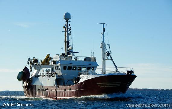
Find the position of the vessel Santos on the map. The latter are known coordinates and path.
marine traffic ship tracker show on live map
The current position of vessel Santos is 60.7249 lat / 20.6752 lng. Updated: 2024-04-25 20:09:01 UTCCurrently sailing under the flag of Finland
Gross tonnage:
399Service entry:
1987-01-01T00:00:00ZDetails:
Last coordinates of the vessel:
UTC, 60.744, 20.6069, course: 151, speed: 3UTC, 60.6936, 20.6665, course: 63, speed: 2.8
UTC, 60.6936, 20.6665, course: 63, speed: 2.8
2024-04-25 20:09:01 UTC, 60.7249, 20.6752, course: 351, speed: 2.7