 vesseltracker.com
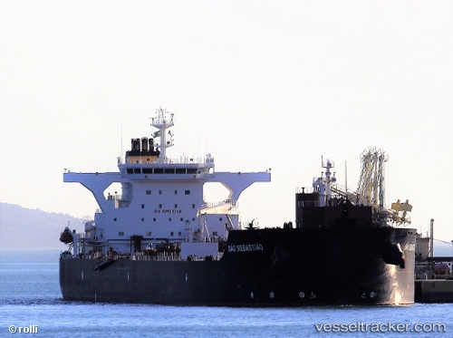
Find the position of the vessel Sao Sebastiao on the map. The latter are known coordinates and path.
marine traffic ship tracker show on live map
The current position of vessel Sao Sebastiao is -29.9927 lat / -50.036 lng. Updated: 2024-04-19 02:23:47 UTCPort of registry:
Nassau (capital city of the Commonwealth of the Bahamas)Payload_mass:
105190 tonneGross tonnage:
62753Service entry:
2012-01-01T00:00:00ZManufacturer:
Samsung Heavy Industries (South Korean shipbuilding company)Details:
Last coordinates of the vessel:
UTC, -29.9928, -50.0355, course: 200, speed: 0.3UTC, -29.9927, -50.0357, course: 195, speed: 0.2
UTC, -29.9927, -50.0359, course: 193, speed: 0.1
2024-04-19 02:23:47 UTC, -29.9927, -50.036, course: 195, speed: 0.1