 vesseltracker.com
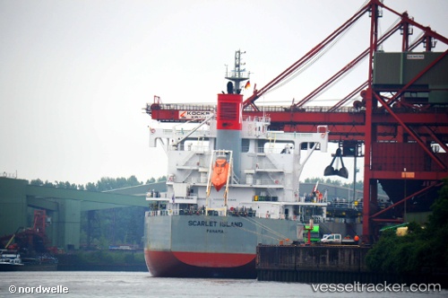
Find the position of the vessel Scarlet Island on the map. The latter are known coordinates and path.
marine traffic ship tracker show on live map
The current position of vessel Scarlet Island is 3.835 lat / 92.6317 lng. Updated: 2024-04-20 06:40:01 UTCPayload_mass:
81842 tonneGross tonnage:
42995Service entry:
2014-01-01T00:00:00ZDetails:
Last coordinates of the vessel:
UTC, 3.45333, 92.2433, course: -1, speed: 12UTC, 3.60833, 92.4083, course: -1, speed: 12
UTC, 3.77667, 92.5717, course: -1, speed: 12
2024-04-20 06:40:01 UTC, 3.835, 92.6317, course: -1, speed: 12