 vesseltracker.com
Find the position of the vessel SEHER S on the map. The latter are known coordinates and path.
marine traffic ship tracker show on live map
The current position of vessel SEHER S is 33.8182 lat / 35.4908 lng. Updated: 2024-04-19 13:39:23 UTCCurrently sailing under the flag of St Vincent and Grenadines
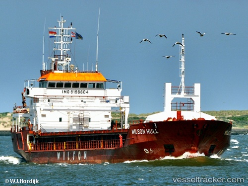
SEHER S built in 2001 year
Deadweight:
4247 tPayload_mass:
4247 tonneGross tonnage:
3037Beam:
15.2 metreOperator:
Reederei Wessels (transport company)Service entry:
2002-01-01T00:00:00ZManufacturer:
Ruse ShipyardDetails:
Last coordinates of the vessel:
UTC, 33.8183, 35.4908, course: 177, speed: 0UTC, 33.8183, 35.4908, course: 177, speed: 0
UTC, 33.8183, 35.4908, course: 177, speed: 0
2024-04-19 13:39:23 UTC, 33.8182, 35.4908, course: 178, speed: 0