 vesseltracker.com
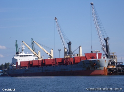
Find the position of the vessel '236112603' on the map. The latter are known coordinates and path.
marine traffic ship tracker show on live map
The current position of vessel '236112603' is -32.2426 lat / 31.2549 lng. Updated: 2024-04-23 17:35:07 UTCPort of registry:
Madeira (Autonomous Region of Portugal in the archipelago of Madeira)Gross tonnage:
24341Service entry:
2013-01-01T00:00:00ZDetails:
Last coordinates of the vessel:
UTC, -31.9387, 32.0294, course: 244, speed: 12.3UTC, -32.0366, 31.7801, course: 244, speed: 12.5
UTC, -32.1374, 31.5235, course: 244, speed: 12.7
2024-04-23 17:35:07 UTC, -32.2426, 31.2549, course: 245, speed: 12.9