 MSC ARCHIMIDIS VIII
Current Status
Where is the vessel?
MSC ARCHIMIDIS VIII is currently in 10 nm E of Nahant, based on AIS data received about 14h ago.
Latest AIS update:
Current position: 42.38862° N, 70.69340° W (10 nm E of Nahant)
Average speed (last 7 days): Loading…
Average speed (last 30 days): Loading…
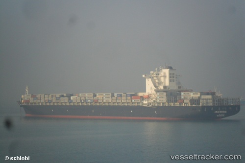
Vessel profile: MSC ARCHIMIDIS VIII is a Container Ship with dimensions m x m.
This page combines live AIS, route history, probable destination signals, nearby traffic, and port activity for practical vessel monitoring.
The current position of vessel MSC ARCHIMIDIS VIII is 42.38862 lat / -70.69340 lng. Updated: 2026-05-24 03:30:12 UTCNearest reference points:
- Near Cohasset
- Near Kittery
- Near FAIRHAVEN
Details:
Live Vessel MSC ARCHIMIDIS VIII Analytics (details, animations, etc.)
Recent AIS points (UTC):
2026-05-23 23:31:00 UTC · 42.31498, -69.99352 · SOG 13.4 kn · COG 322°2026-05-24 01:55:56 UTC · 42.36112, -70.47992 · SOG 6.9 kn · COG 270°
2026-05-24 01:56:01 UTC · 42.36117, -70.48035 · SOG 6.9 kn · COG 270°
2026-05-24 03:30:12 UTC · 42.38862, -70.69340 · SOG 0.6 kn · COG 292°